Mullaghcleevaun
Mullaghcleevaun
-
It was Friday. Day after the Patrick Day. Probably, it was one of those days when many people with hangover goes to work in Ireland. We didn’t have hangover and we didn’t go to work. We drove to Wicklow Mountains.
The main point of our trip was mountain, called Mullach Cliabhain or (it’s little simpler) Mullaghcleevaun.
We didn’t drive very early, because the mornings are still cold. We drove the road number R759, then we turned into the Millitary Road. We stopped at a place that could have been a car park -because we could see remains of burned car on the ground. Then we started going uphill.
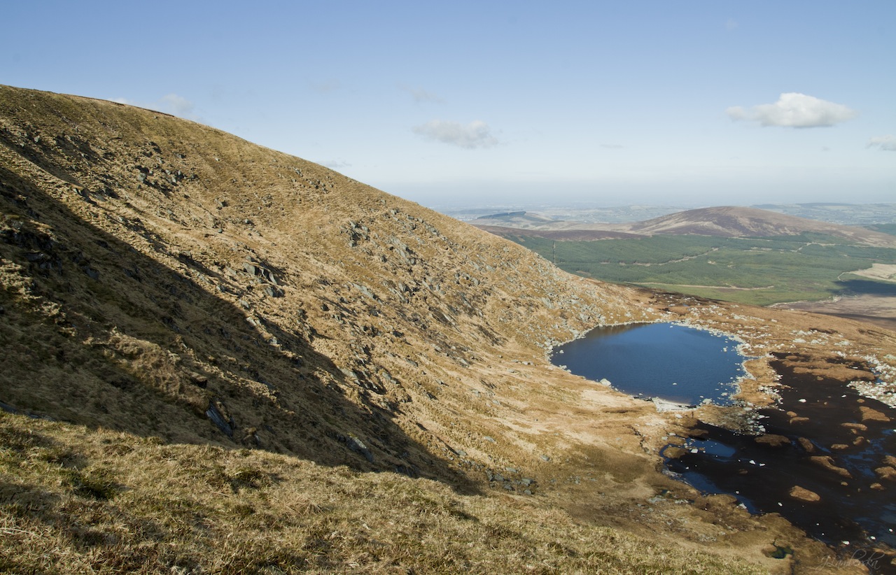
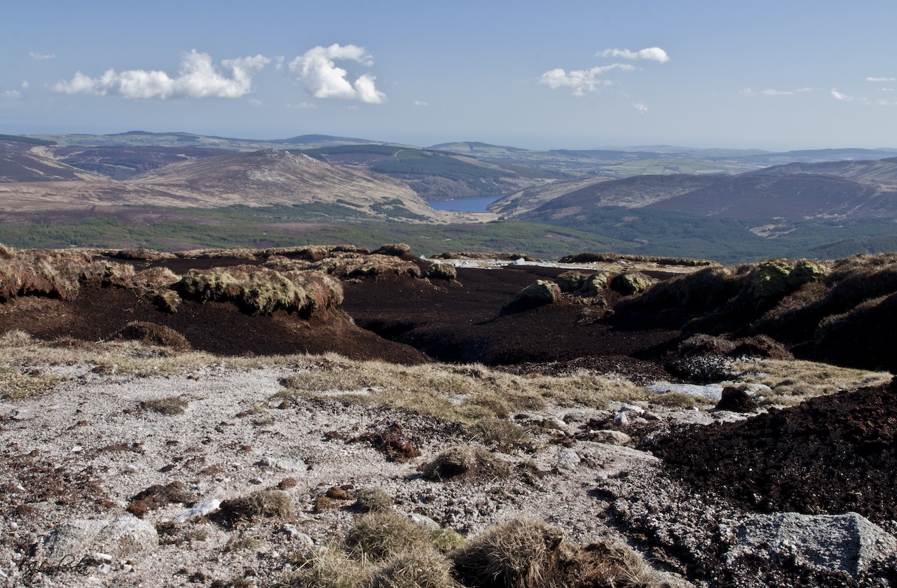
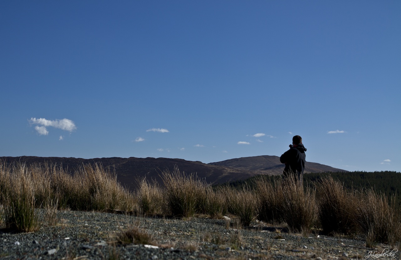
At first we climbed Carrigshouk (571m), than we went to the Mullaghcleevaun East Top (795m) and at the end we reached destination of our trip. The Mullaghcleevaun height is 849m. Whole trip, from the car park to the peak took us about 2hours. I was on the top not longer than 2 minutes.
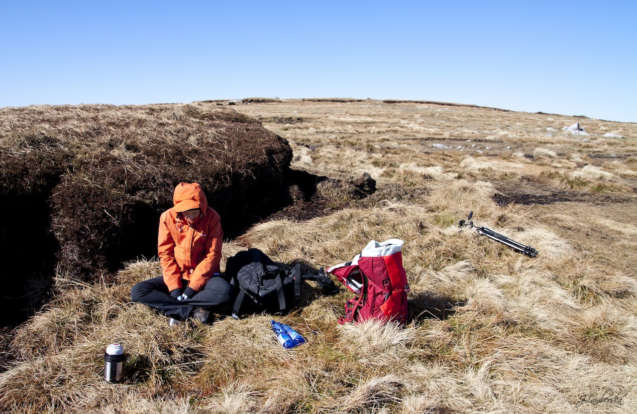
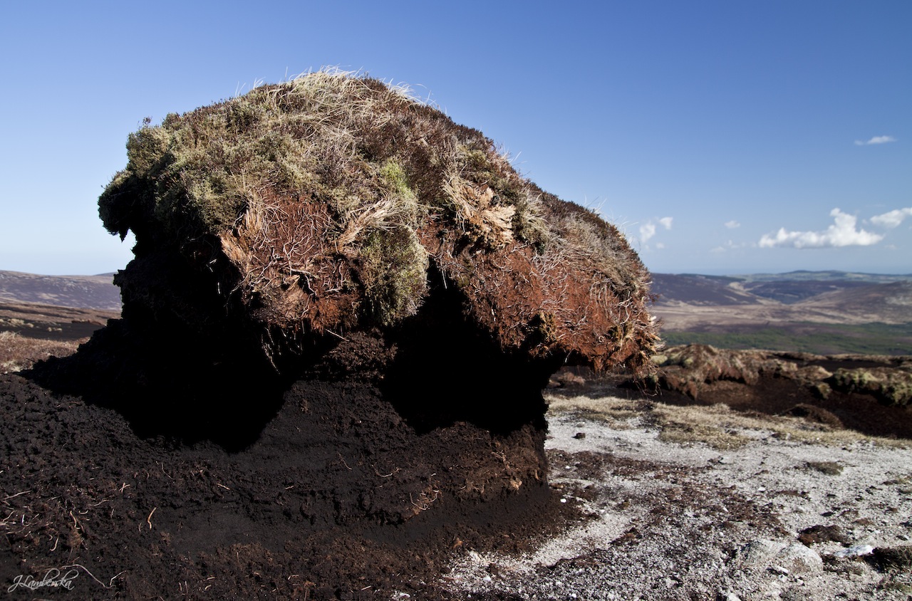
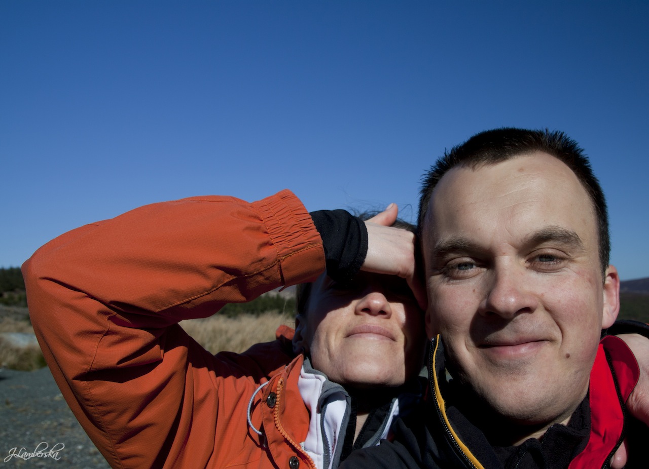
Despite the fact, that the sun was shining and sky was almost cloudless, it was cold day. We ate our breakfast, hidden behind a heap of peat.
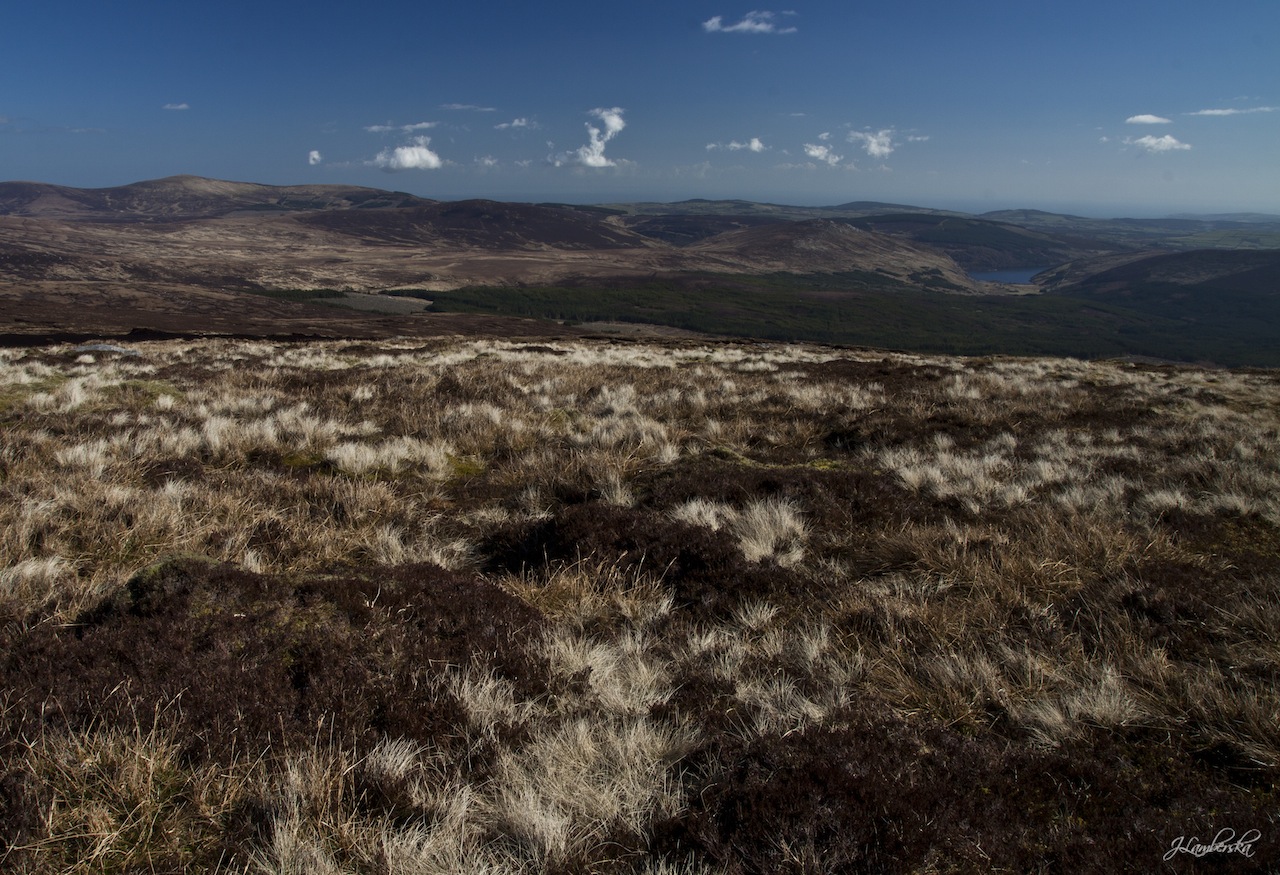
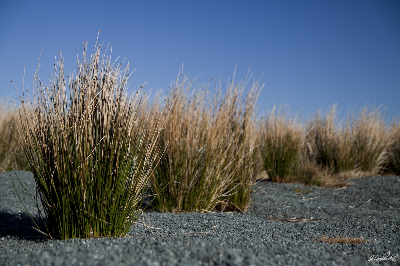
The trip = the trail is easy (especially if you have as good weather as we had). Surface is the main problem. Everybody knows, that there aren’t many marked trails in the Wicklow Mountains. You decide where you want to go. Very often you have to go through the swamp, heath, peats etc. It can put you off. Shoes, which were supposed to be waterproof were quickly soaked. But during the whole trip views were beautifull and lying on the heap of peat is very pleasant.
All the best,
Anaemia
-
Był piątek. Dzień po dniu Patryka. Pewnie jeden z tych dni, kiedy w Irlandii pracuje najwięcej skacowanych ludzi. My nie mieliśmy kaca i nie jechaliśmy do pracy. Jechaliśmy w góry Wicklow.
Głównym punktem wycieczki była góra o pięknej irlandzkiej nazwie: Mullach Cliabhain czyli Mullaghcleevaun. Według mnie należy to przeczytać Mulagclvn - stawiając między ‘g’ i ‘l’ oraz ‘l’ i ‘y’ bliżej nieokreślone litery.
Nie jechaliśmy zbyt wcześnie, bo poranki bywają nadal upierdliwe i zimne. W okolicę góry dojechaliśmy drogą numer R759, z której zjechaliśmy w Millitary Road. Zatrzymaliśmy się na czymś co mogło przypominać parking - były tam części spalonego samochodu - i ruszyliśmy. Pierwszy pagórek jaki zdobyliśmy nazywa się Carrigshouk (571m n.p.m), później wdreptaliśmy na Mullaghcleevaun East Top (795m n.p.m) no i na końcu zdobyliśmy cel podróży, którego wysokość wynosi 849m n.p.m. Cała trasa od parkingu do szczytu Mullaghcleevaun zajęła nam prawie dwie godziny. Na szczycie zabawiłam około 2minut. Pomimo świecącego słońca i niemal bezchmurnego nieba, było zimno. Śniadanie zjedliśmy schowani za kupą torfu.
Wycieczka = trasa jest prosta (przy takiej pogodzie jaką my mieliśmy). Głównym dyskomfortem jest droga, którą trzeba iść. Powszechnie wiadomo, że w górach Wicklow nie ma szlaków. Trzeba się więc przeprawiać przez tereny podmokłe, bagniska, wrzosowiska, torfowiska i trawy. To może zniechęcać. Buty, które do tej pory były nieprzemakalne stają się przemakalne itd.
Ale widoki są przyjemne a leżenie na kupie torfu obrośniętej wrzosami - odnosi się wrażenie leżenia na miękkim dywanie - jeszcze przyjemniejsze.
Pozdrowienia,
A. jak Anemia